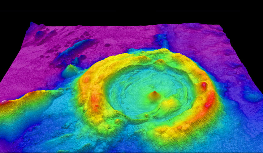
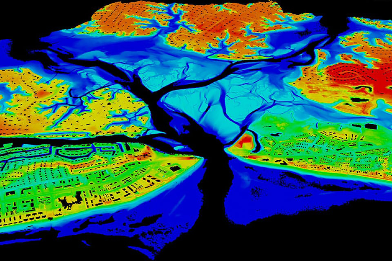
Lidar is an acronym for “light detection and ranging”. Lidar mapping is a remote sensing method that uses laser light to measure variable distances (ranges) to the Earth. It works on the same principle of radar and sonar. Radar and sonar use radio and sound waves, lidar use light waves from a pulsed laser.
How does lidar mapping work?
A lidar instrument principally consists of a laser, a scanner, and a specialized GPS receiver. Aeroplanes and helicopters are commonly used for acquiring lidar data over large areas. Lidar beams several thousand harmless light pulses every second from an aircraft to map the ground below in very high resolutions.
Lidar mapping works by first illuminating the target area with pulsed laser light. The lidar system records how long it takes for light pulses to return to the aircraft after bouncing off the terrain below.
The distance to the object is then calculated by applying the velocity of light.
\(d = \frac {ct}{2}\)
where “d” is the distance to the target area, “c” is the speed of light (299792458 metres per second), and “t” is the amount of time taken by light pulses to hit a target and reflect back to the sensor.
A computer then takes this data and creates a digital terrain model that mirrors the surface. The difference in return times and wavelengths of these light pulses, combined with other data recorded by the airborne system is used to create a precise digital three-dimensional (3D) representation of the shape of the Earth and its surface characteristics.
There are two types of lidar, namely the topographic lidar and the bathymetric lidar. Topographic lidar uses near-infrared laser light to map the land. The map that you see in the cover image is a topographic lidar map. The bathymetric lidar uses water-penetrating green light to measure riverbed elevations and seafloor. Lidar maps can be coloured to reflect different altitudes. [1]

Applications of Lidar mapping
Lidar mapping has its applications in surveying, archaeology, geology, geography, geodesy, geomatics, geomorphology, seismology, forestry, atmospheric physics, laser altimetry, laser guidance, and airborne laser with swath mapping (ALSM).
It can see through tree canopies and other vegetation to see features that would be hidden from traditional techniques such as aerial photography. Lidar mapping can reveal earthworks that remain hidden under vegetation and helps in the identification and protection of archaeological sites and monuments.
Lidar mapping allows mapping professionals and scientists to examine both manmade and natural environments with high accuracy, precision, and flexibility. It helps further our knowledge and understanding of the terrain’s past.
References
1. What is lidar?
