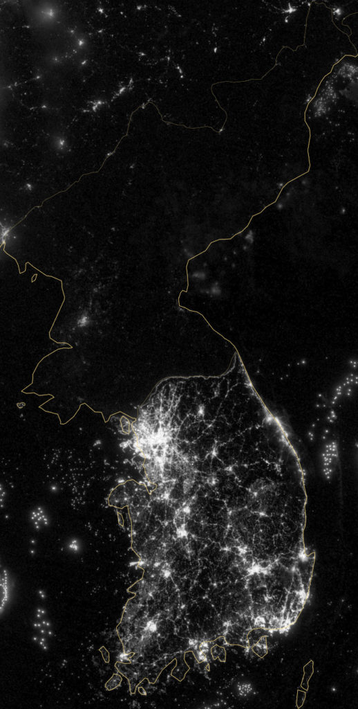
The image by the National Aeronautics and Space Administration (NASA) and National Oceanic and Atmospheric Administration (NOAA) Suomi National Polar-orbiting Partnership (NPP) satellite displays a stunning view of the Korean Peninsula at night.
With the rising tensions between North and South Korea, the big energy difference between the neighbouring countries shows their energy capabilities. With the rising tensions on the Korean Peninsula, North Korea continues to threaten South Korea and the United States.
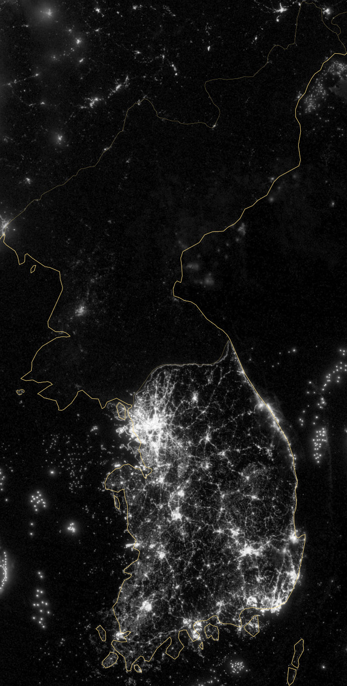
The U.S. reacts to North Korean nuclear threats saying, “Will defend our nation and its allies, prepared for any eventuality.” The U.S. promises to retaliate to a strike. In the cloud-free image, South Korea looks much brighter with its live cities, whereas North Korea looks bright only at its capital city, Pyongyang.
The below image also displays the night view over Japan and East China.
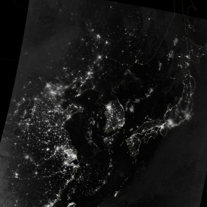
These cloud-free images were taken using the Visible Infrared Imaging Radiometer Suite (VIIRS) and were published by NASA on December 5, 2012.
Click here for a High-Resolution Image